Description
Infostars Asset GPS-Tracking Advanced
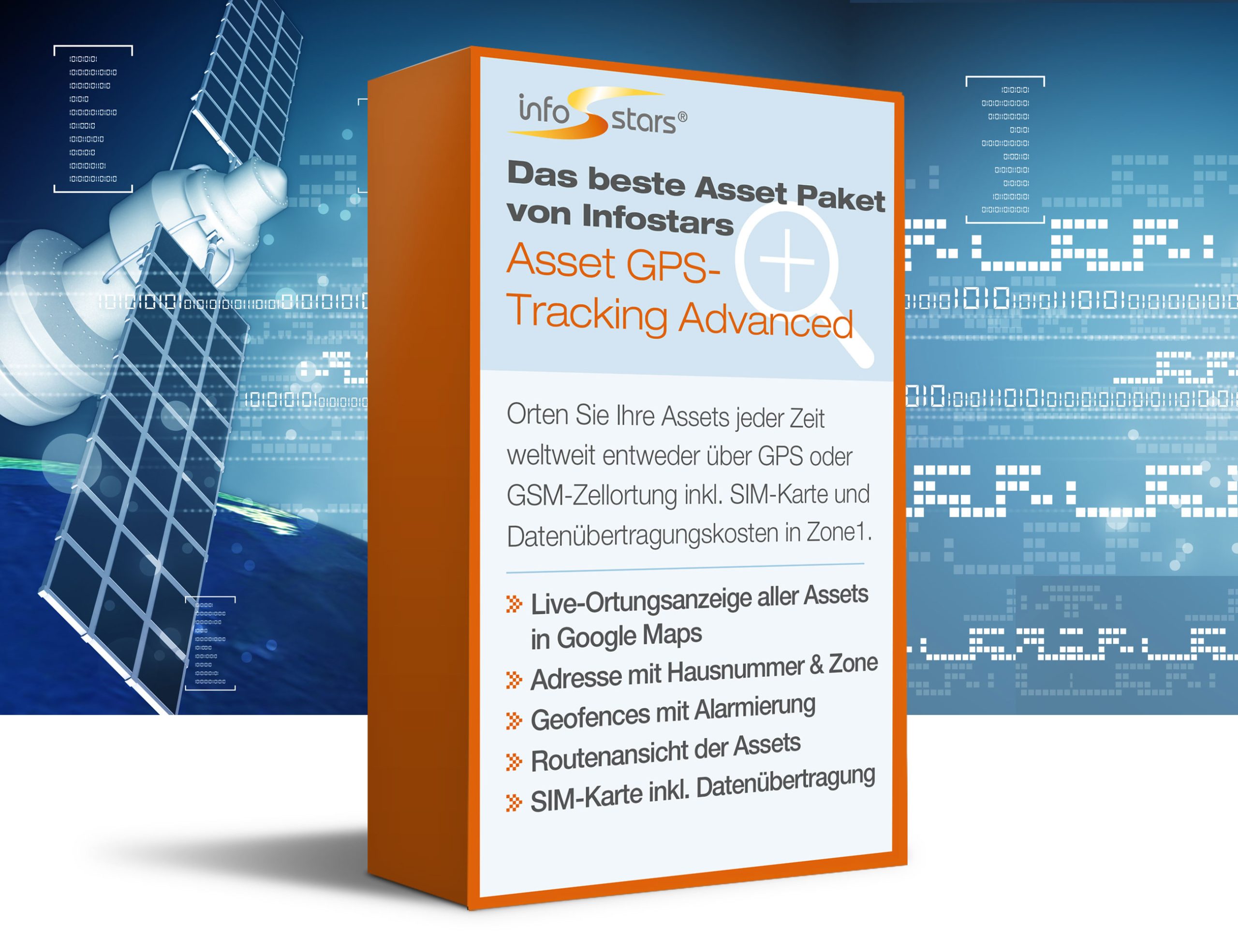
Our Asset GPS Tracking Advanced software always shows you the last location of all assets at the same time, fully automatically. You can see your assets via Google/maps on a street map or a satellite map with aerial image or in a list. Display the track view on the map. With geofences, you receive automatic alerts when leaving or entering the zone. With the track view, you can see how the device has travelled according to GPS. In addition, the location with street name incl. house number (if available), zone name, km/h of the asset at the time of localisation and the approximate charge level of the GPS device can be displayed.
- Display of all assets on the electronic map
- The last current position of the assets is displayed in a clear list
- The last 5 or 20 positions can be displayed as a route
- The GPS track can be displayed for up to 62 days
- Display of the address
- Display of the km/h at the time of localisation
- Display of the approximate charge level of the battery or rechargeable battery
- The smartphone’s own position can also be displayed
- Map can be switched between street view and aerial view
- Basemap available in Austria
- Basic SIM card fee
- Data transfer costs in EU countries incl. Switzerland mobile network and Zone1 with standard configuration Device does not send more often than every hour. The country coverage of zone 1 is subject to change. The current list is available from Infostars Support.
- Sending interval can be changed by command from the software
- Create zones and display them on the map
- Use zones as geofences
- Filter function by time, asset groups, vehicles and zones
- Alarm sending modul
- GSM cell locating function
- Server utilisation costs
- Software upgrades
- Data storage: 93 days
- Telephone helpdesk Monday to Friday from 9:00 to 16:00 (ETC) except on Austrian bankholidays.
