Description
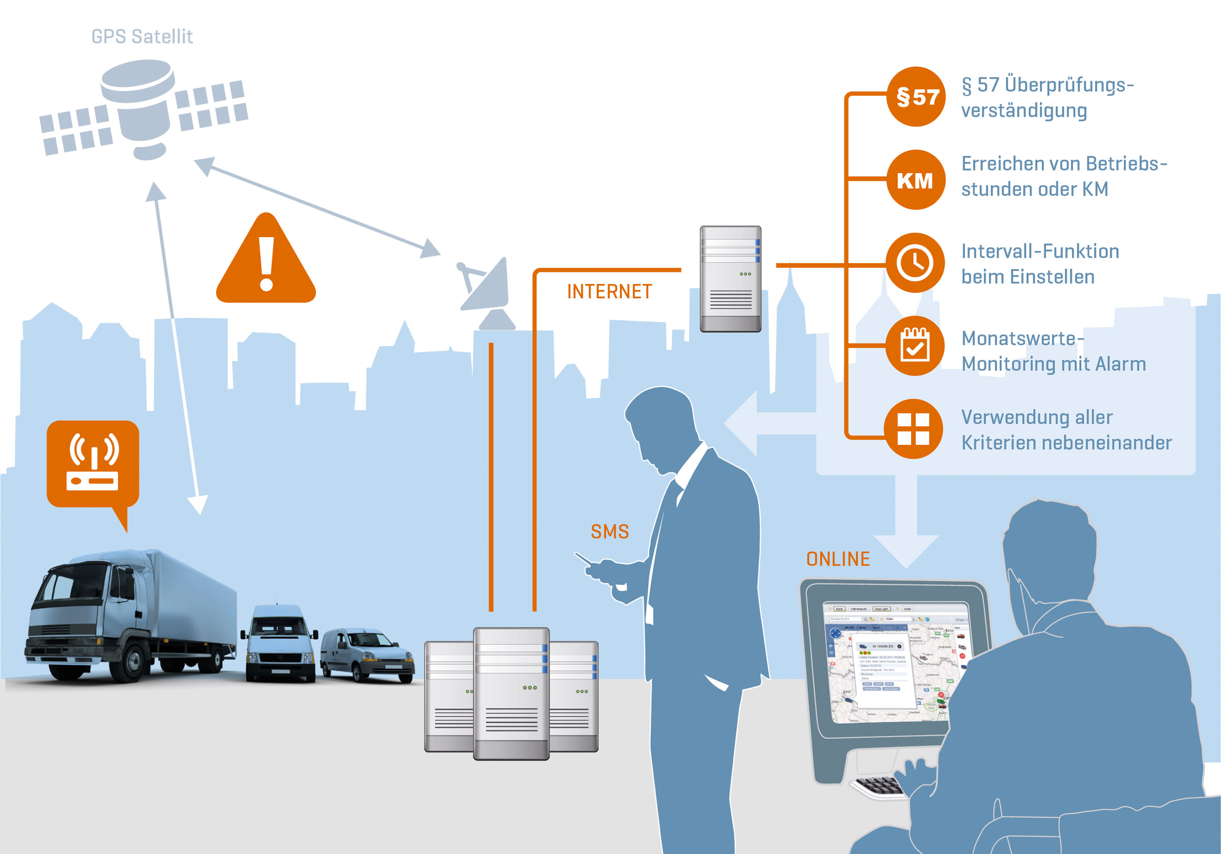
Our GPS tracking and locating software basic always shows you the last location of all vehicles fully automatically. This is done either via Google/maps on a road map with the traffic flow density or on a satellite map with an aerial image. In addition, the location can be displayed with street names including house number (if available) in a list as well as additional information such as km/h, is the vehicle moving, is it supplied with power.
- Display of all vehicles on the electronic map (street view / aerial view / Google Maps)
- The last current position of the vehicles is displayed in a well-organised list
- Displays whether the ignition is switched on or the vehicle is moving or whether the device is supplied with power
- Display of the address (usually with house number)
- Display of the km/h
- Map can be switched between street view and aerial view (google Maps)
- Traffic flow density from Google
- Basic sim card fee
- Data transfer costs in EU countries incl. Switzerland, GB and in 172 countries worldwide with standard configuration. The country coverage is subject to change. The current list is available from Infostars Support.
- Icons for display: Icons indicating the direction of travel, or vehicle symbols or a combination of numbers and digits.
- Server utilisation costs
- Software updates
- Automatic updating of position
- “Follow” function (vehicle remains in the centre of the map after each refresh)
- Filter functions (time, map section)
- Data storage 25 days
- 1 user included
- Helpdesk by e-mail from Monday to Friday from 9:00 to 16:00 (ETC) except on Austrian bankholidays.


